About the project
Zure built Plot Insights with Fairtrade to help around 1,000 farmer cooperatives manage geolocation data, automate 20+ quality checks, integrate satellite deforestation monitoring, and prepare over 1 million farm plots across 36 countries for EUDR readiness.
By digitizing the plot validation workflow and integrating satellite monitoring, we created a unified platform that turns complex geospatial data into clear, actionable insights. Producers and their trade partners can collaborate efficiently and proactively manage deforestation risk at scale.
"Zure was a great partner in building Plot Insights. The team at Zure took care to really understand the outcomes we want to achieve with this new platform. Close interaction enabled us to deliver a solution that is fulfills our core use cases really efficiently and with a delightful usage experience."
Jens Benke
Head of Product Management, Fairtrade International
The solution
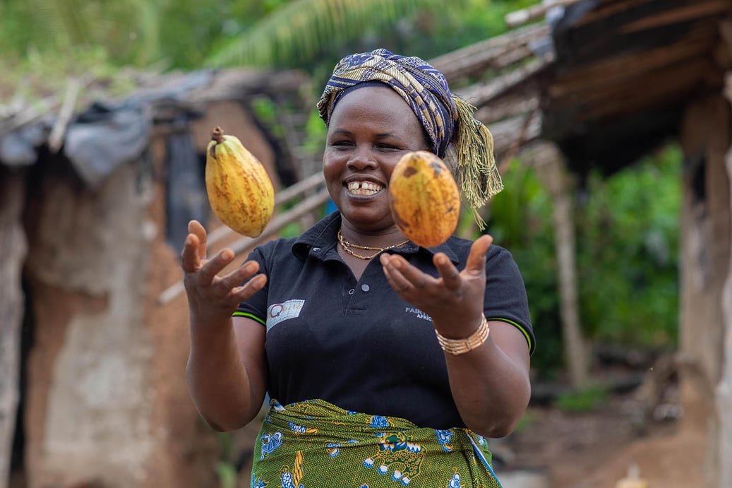
Fairtrade represents around 1.9 million smallholder farmers and workers worldwide. Across 36 certified cocoa and coffee countries on three continents, around one million Fairtrade farmers need to map and manage approximately 2.5 million hectares of farm plots to support EUDR readiness while sustaining local livelihoods. More than one million farm plots require validated geodata, creating a challenge that cannot be solved through manual processes alone.
The regulatory pressure was significant. Coffee and cocoa entering the EU market must be backed by geolocation and traceability data and shown to be deforestation-free. For smallholder producers and cooperatives, that requirement brings cost, technical, and operational barriers. Plot Insights addresses that reality with a nonprofit-controlled platform that turns fragmented geospatial data into clear, actionable insight and helps producer organizations move from disconnected files and manual review to a shared, structured process.
Measured Impact
The platform equips about 1,000 farmer cooperatives to protect forests and prepare market requirements with a practical digital workflow. Start-to-end time for users to get results has been reduced by 95 percent, turning a process that previously took months into one that can be completed in days.
By digitizing plot validation and integrating satellite monitoring into the same workflow, Plot Insights makes it possible to identify data-quality issues earlier, surface deforestation risk more efficiently, and support collaboration between producers and trade partners at global scale. Producers and their trade partners can work with clearer data, faster workflows, and earlier visibility into risks that affect both compliance with readiness and forest protection.
Want to hear more?
If your business is looking to create an impact, let’s talk about how we can help you get there.

Are you struggling with AI adoption or data quality?
Do you want to create a new digital experience or are you looking for help with the security, optimization, or management of your cloud?
Send us a message. We're here to help.